
Fun Places to Fly, Aviation Jobs and More!


Best Aviation

Friendly, helpful FBO, best gas prices around. At Best Aviation, you'll enjoy a tailored learning experience with quality certified instructors committed to excellence in aviation. Continue reading to discover available aircraft and services. - Submitted by Jennifer
All destinations and events listed on this website were provided by visitors to our website. If you decide
to fly or drive to any destination listed, you do so at your own risk. Please see our disclaimer.
|
|
Amenities:  100LL
Aircraft Parts
Aircraft Rental
Avgas
Complimentary Coffee
Conference Rooms
Courtesy Car(s)
FBO
Flight Planning Room
Flight Training
Food
Hangar Leasing/Sales
Hangar Space
Hangars
Hotels Near Airport
JET-A
Kitchen
Maintenance
Office Space
Pilot Lounge
Pilot Supplies
Restrooms
Self Serve 100LL
Shade Hangars
Showers
Terminal/Lounge
Tiedowns
WIFI 100LL
Aircraft Parts
Aircraft Rental
Avgas
Complimentary Coffee
Conference Rooms
Courtesy Car(s)
FBO
Flight Planning Room
Flight Training
Food
Hangar Leasing/Sales
Hangar Space
Hangars
Hotels Near Airport
JET-A
Kitchen
Maintenance
Office Space
Pilot Lounge
Pilot Supplies
Restrooms
Self Serve 100LL
Shade Hangars
Showers
Terminal/Lounge
Tiedowns
WIFI
|
Airport Information:
|
Bakersfield Muni (L45) Latitude: 35-19-29.5000N |
|
|
Location:
|
410 E. Planz Road Bakersfield, CA |
Comments and Reviews From FunPlacesToFly.com Visitors:
Write a review, suggest updates or make comments!
Write a review, suggest updates or make comments!
- No reviews so far
Nearby Public Airports: (50 mile radius)
|
Photos:
All photos shown below are provided/uploaded by visitors to our website, which have agreed to our Photo Submission Rules.
Got a photo?, share it with us

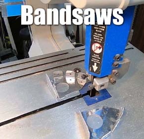
Best Aviation - Uploaded by Mike
All photos shown below are provided/uploaded by visitors to our website, which have agreed to our Photo Submission Rules.
Got a photo?, share it with us
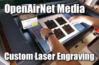
Best Aviation - Uploaded by Mike
FunPlacesToFly.com is an Amazon Associate. As an Amazon Associate we earn from qualifying purchases.


Advertise with us!
 |
 |
 |
 |
 |
 |
 |
 |
 |
 |
 |