War Eagles Air Museum
|
Taxi right up to the museum! The War Eagles Air Museum is a non-profit organization supported by memberships, admission and contributions. Its operation is made possible by a growing group of enthusiastic volunteers and members.
All destinations and events listed on this website were provided by visitors to our website. If you decide
to fly or drive to any destination listed, you do so at your own risk. Please see our disclaimer.
Tour through the spacious 64,000 sq. ft. display and discover the warbirds of the World War II era, and jet fighters used in the Korean Conflict, and later. These include some of the famous fighters such as the P-51 Mustang, the P-38 Lightning, the P-40 Warhawk, the F-4U-4 Corsair, plus a twin-engine Invader bomber, a DC-3 transport and a German observation aircraft, the Fiesler-Storch. Among the jets built in the 1950s, you will find an F-86 Sabre, a T-33 Silver Star and MIG-15s. Also, you will enjoy several antique automobiles. - Submitted by Ted |
|
Amenities:  100LL 100LL
 Hangars Hangars
 JET-A JET-A
 Maintenance Maintenance
 Oxygen Oxygen
 Tiedowns Tiedowns
|
Airport Information:
|
Dona Ana County Intl Jetport (DNA) Latitude: 31-52-49.6000N |
|
|
Location:
|
8012 Airport Rd. Santa Teresa, NM |
Comments and Reviews From FunPlacesToFly.com Visitors:
Write a review, suggest updates or make comments!
Write a review, suggest updates or make comments!
- No reviews so far
Nearby Public Airports: (50 mile radius)
|
Photos:
All photos shown below are provided/uploaded by visitors to our website, which have agreed to our Photo Submission Rules.
Got a photo?, share it with us

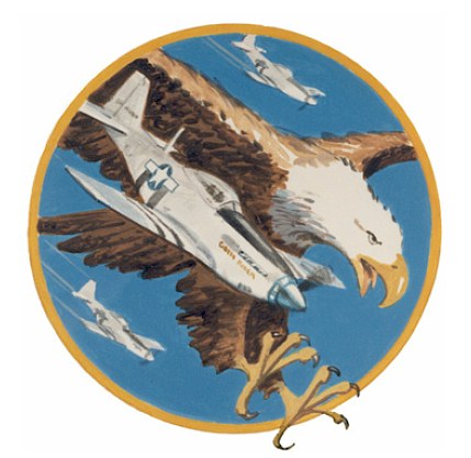
War Eagles Air Museum Logo - Uploaded by Mike
All photos shown below are provided/uploaded by visitors to our website, which have agreed to our Photo Submission Rules.
Got a photo?, share it with us

War Eagles Air Museum Logo - Uploaded by Mike
FunPlacesToFly.com is an Amazon Associate. As an Amazon Associate we earn from qualifying purchases.
Advertise with us!
 |
 |
 |
 |
 |
 |
 |
 |
 |
 |
 |
 |
 |


