
Fun Places to Fly, Aviation Jobs and More!


Iosco County Airport
A prominent view of Lake Huron's Tawas Bay is what you'll see first approaching East Tawas with a great view of the Tawas Point Lighthouse and state dock. Town is just a short four miles away and has great shopping and dining along Newman Street. There's a bike path that parallels US23 and the shoreline - Submitted by Jay Samuels
All destinations and events listed on this website were provided by visitors to our website. If you decide
to fly or drive to any destination listed, you do so at your own risk. Please see our disclaimer.
|
|
Amenities:  FBO
Fishing
Flight Training
Hiking
Restrooms
Self Serve 100LL
Sightseeing
Tiedowns
Vending Machines
WIFI FBO
Fishing
Flight Training
Hiking
Restrooms
Self Serve 100LL
Sightseeing
Tiedowns
Vending Machines
WIFI
|
Contact Information:
Phone: 989-362-5832
Phone: 989-362-5832
Airport Information:
|
Iosco County (6D9) Latitude: 44-18-46.2000N |
|
|
Location:
|
1131 Aulerich Rd East Tawas, MI |
Comments and Reviews From FunPlacesToFly.com Visitors:
Write a review, suggest updates or make comments!
4/13/2022 - We a great courtesy car available. It's a fully loaded 2006 Buick Lucerne with 60,000 miles. - Submitted by Jay Samuels
4/13/2022 - We have a new restaurant 2.4 miles from the airport. It is the Route 23 BBQ, which just opened and is having great reviews and success. Our courtesy car is always here and ready to help with your transportation needs - Submitted by Jay Samuels
Nearby Public Airports: (50 mile radius)
|
Photos:
All photos shown below are provided/uploaded by visitors to our website, which have agreed to our Photo Submission Rules.
Got a photo?, share it with us
Airport Logo - Uploaded by Jay Samuels
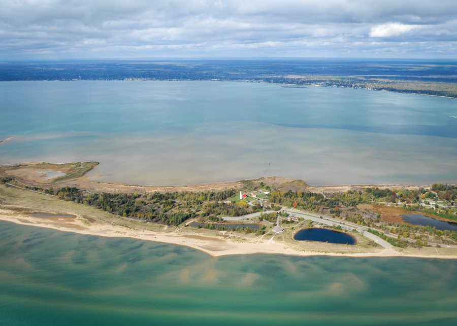
Tawas Point - Uploaded by Jay Samuels - Copyright Holder: Tawas Point
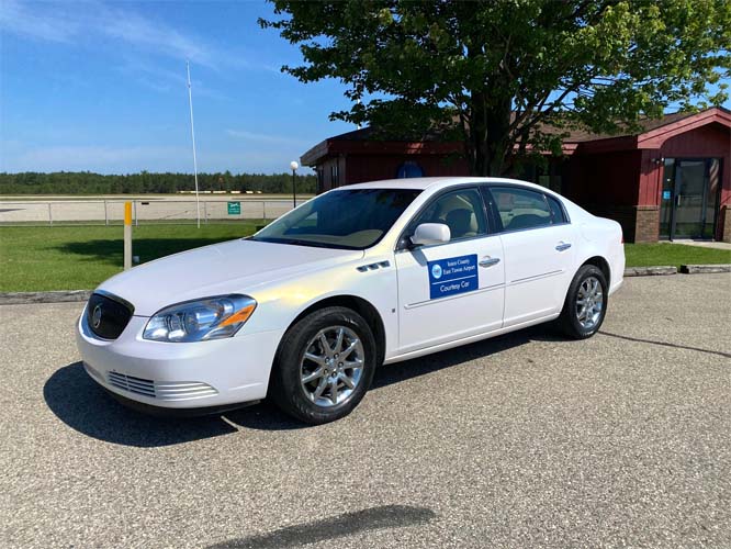
Courtesy car! - Uploaded by Jay Samuels
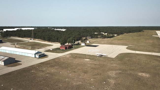
Aerial view of the terminal building. - Uploaded by Jay Samuels
All photos shown below are provided/uploaded by visitors to our website, which have agreed to our Photo Submission Rules.
Got a photo?, share it with us
Airport Logo - Uploaded by Jay Samuels
Tawas Point - Uploaded by Jay Samuels - Copyright Holder: Tawas Point
Courtesy car! - Uploaded by Jay Samuels
Aerial view of the terminal building. - Uploaded by Jay Samuels
FunPlacesToFly.com is an Amazon Associate. As an Amazon Associate we earn from qualifying purchases.


Advertise with us!
 |
 |
 |
 |
 |
 |
 |
 |
 |
 |
 |