
Fun Places to Fly, Aviation Jobs and More!


Grand Canyon of PA
The grand canyon of PA is a wonderful day or weekend trip. It boasts tremendous views, hiking, fishing, biking, canoeing, horseback riding, and shopping in the quaint historic town of Wellsboro. Leonard Harrison State Park boasts camping and trails along and down into the waterfall laden canyon. Pinecreek Outfitters offers canoe trips, rafting and bike rentals as well as pickup after your 20 mile trip down the canyon in company with river otters and bald eagles. Stay overnight at Pinafore Run Farm BB and take a swim in the lake after you hike. They also offer a crew car for your use. - Submitted by Chuck Gilligan
All destinations and events listed on this website were provided by visitors to our website. If you decide
to fly or drive to any destination listed, you do so at your own risk. Please see our disclaimer.
|

Airport Information:
|
Wellsboro Johnston (N38) Latitude: 41-43-40.7618N |
|
|
Location:
|
Leonard Harrison State Park. 4797 RT660 west Wellsboro, PA |
Comments and Reviews From FunPlacesToFly.com Visitors:
Write a review, suggest updates or make comments!
Write a review, suggest updates or make comments!
- No reviews so far
Nearby Public Airports: (50 mile radius)
|
Photos:
All photos shown below are provided/uploaded by visitors to our website, which have agreed to our Photo Submission Rules.
Got a photo?, share it with us
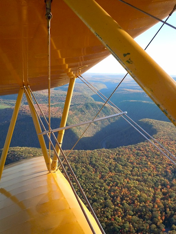
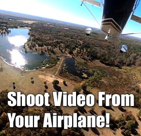
A view of the Grand Canyon of PA from my 1941 Stearman. This is facing south with a view of Leonard Harrision State Park. - Uploaded by Chuck Gilligan - Copyright Holder: Chuck Gilligan
All photos shown below are provided/uploaded by visitors to our website, which have agreed to our Photo Submission Rules.
Got a photo?, share it with us
A view of the Grand Canyon of PA from my 1941 Stearman. This is facing south with a view of Leonard Harrision State Park. - Uploaded by Chuck Gilligan - Copyright Holder: Chuck Gilligan
FunPlacesToFly.com is an Amazon Associate. As an Amazon Associate we earn from qualifying purchases.


Advertise with us!
 |
 |
 |
 |
 |
 |
 |
 |
 |
 |
 |